Trek 12: Nabq Protectorate and Sharm el Sheikh
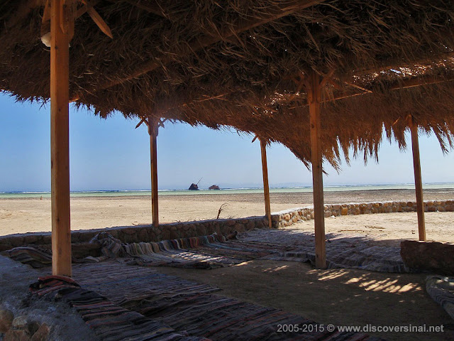
Nabq is a coastal nature protectorate, a very large floodplain just north of Sharm el Sheikh. This is the northernmost point in the Red Sea area where mangroves grow, and the area is also home to other wild plant and animal species. There is a nicely presented and informative display at the Visitor Centre, and the shallow bays near the Maria Schroeder wreck and Ghurgana are ideal for a swim and, bit off the coast, for snorkelling. You can find beach huts in these spots, offering basic accommodation and great seafood. The protectorate has a laid-back atmosphere, although occasional groups of quad bikes might break the silence as a reminder that the hustle and bustle of Sharm el Sheikh starts just over the fence. Coming from Ein Kid, the easiest is to take a car for this last stretch, but in theory you could walk or ride a camel all the way to the coast – however, make sure to check locally if it is OK as some areas might be restricted, and until the sea stay with a Bedouin guide!
Read more about: Nabq Protectorate.
You can click waypoints marked with a green camera symbol to see a photo taken at, near or of the given location.
Read more about: Nabq Protectorate.
You can click waypoints marked with a green camera symbol to see a photo taken at, near or of the given location.
Trek photos
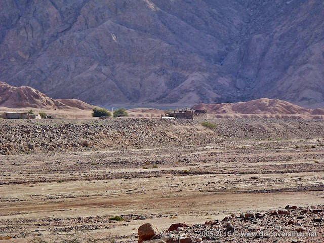
waypoint 01: Seil Riem (Nabitat / National Park station)

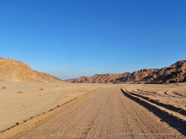
waypoint 02: Wadi Kid – asphalt road junction

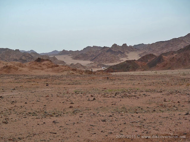
waypoint 03: Wadi Khrezi

waypoint 04: alternative route

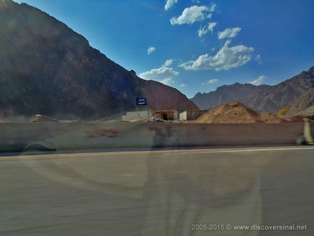
waypoint 05: NP ticket office (beyond mosque and school)

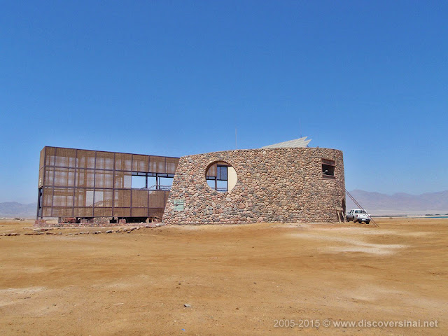
waypoint 06: NP Visitor Centre

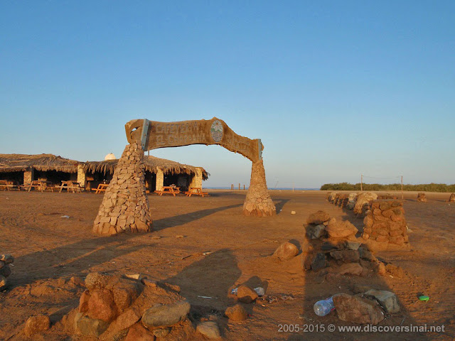
waypoint 07: Maria Schroeder wreck

waypoint 08: Ghurgana

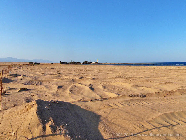
waypoint 09: view north from the NP ticket office


